
About Us
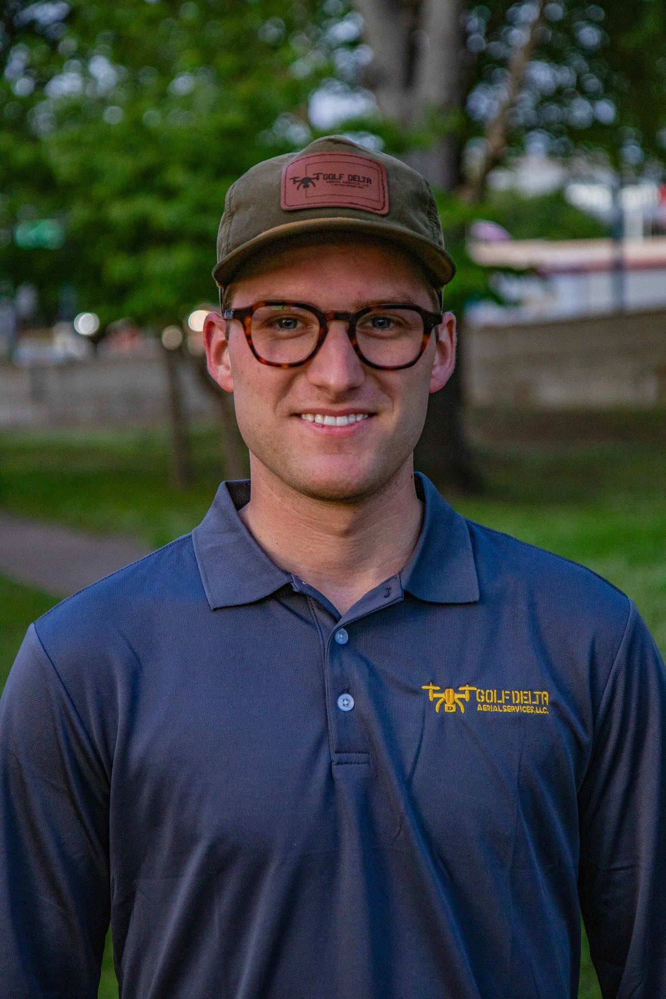
Gavin Dillon launched Golf Delta Aerial Services in July 2021, bringing together his deep knowledge of drone tech and a drive to create smarter, more efficient solutions for businesses.
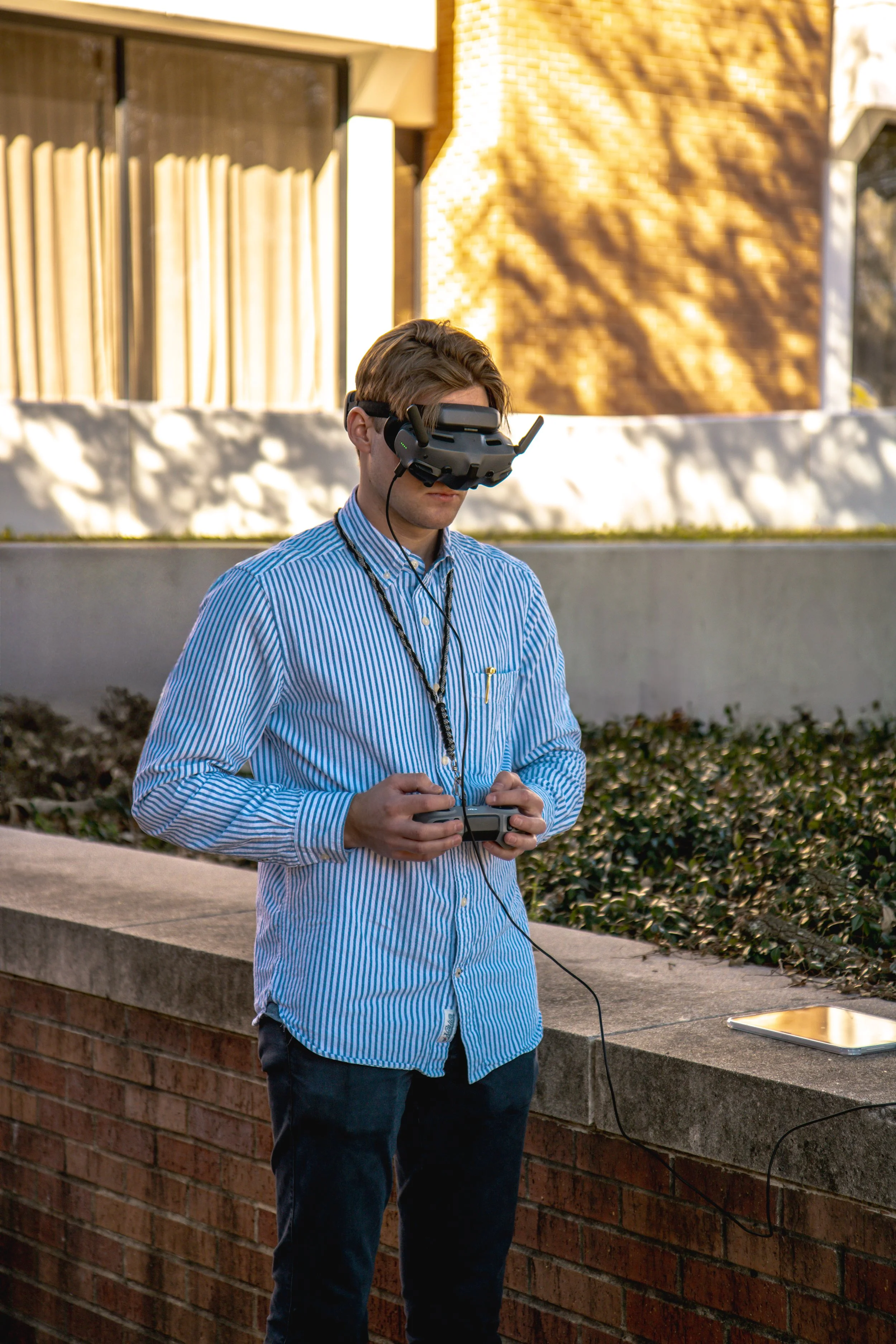
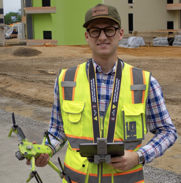
What started as a passion quickly turned into a thriving operation that is currently helping industries like real estate, agriculture, insurance, marketing, and construction get the most out of aerial imaging and data. From high-res photography to detailed mapping and analytics, Gavin and his team are all about delivering sharp insights and practical value.
Thanks to his forward-thinking approach and hands-on expertise, Golf Delta Aerial Services has built a solid reputation for quality and innovation in a fast-moving field.

Frequently Asked Questions
-
Drone photography enhances real estate listings by providing eye-catching aerial perspectives that showcase property size, layout, and surrounding features more effectively than ground photos alone. It helps listings stand out online, attracts more buyer attention, increases engagement, and gives potential buyers a clearer understanding of location, views, and nearby amenities before scheduling a showing.
-
Affordable mapping services are available for small businesses, and many are tailored to fit different budgets and needs. Options include simple 2D site maps, measurement maps, and 3D models created from aerial imagery or ground surveys. Prices vary based on scale and detail, but many providers offer cost‑effective packages or pay‑per‑project pricing that keeps mapping accessible for smaller budgets. When choosing a service, look for transparent pricing, examples of previous work, and tools that integrate easily with your marketing or planning needs.
-
Professional drone services can provide both photography and videography to elevate marketing efforts. Drones capture stunning aerial photos that showcase properties, commercial spaces, or landscapes from unique perspectives, while also recording high-quality videos that highlight features, layouts, and surroundings dynamically. Combining both allows businesses to create more engaging listings, promotional content, and social media-ready materials, all from a single service provider, saving time and ensuring a consistent visual style.
-
Commercial drone services can handle a wide range of projects, including real estate photography and videography, construction site monitoring, roof inspections, land surveying, mapping, and marketing content creation. Drones provide high-resolution imagery, aerial perspectives, and efficient data collection that save time and enhance project visibility.
-
The cost of professional drone services depends on project scope, duration, and deliverables. Basic aerial photography or videography for real estate can start around $200–$400, while larger commercial projects, mapping, or cinematic videos may range from $500 to $1,000+. Many drone companies offer custom packages to fit budgets while providing high-quality results.
-
Choosing a reliable aerial photography service starts with checking experience and credentials. Look for professionals who are FAA Part 107 certified, insured, and have a strong portfolio in real estate or your specific industry. Read client reviews and ask for examples of past projects similar to yours. Clear communication, transparent pricing, and a structured delivery timeline are also key indicators of a dependable service. A reliable provider should respond promptly, explain their process, and ensure safety and quality throughout your project.
